You can GeoTag images taken by your GVI Lidar unit to make Orthophotos within LiGeoreference. While this isn't a recommended operation as LiDAR and Photogrammetry use different flight parameters, it can still generate orthophotos.
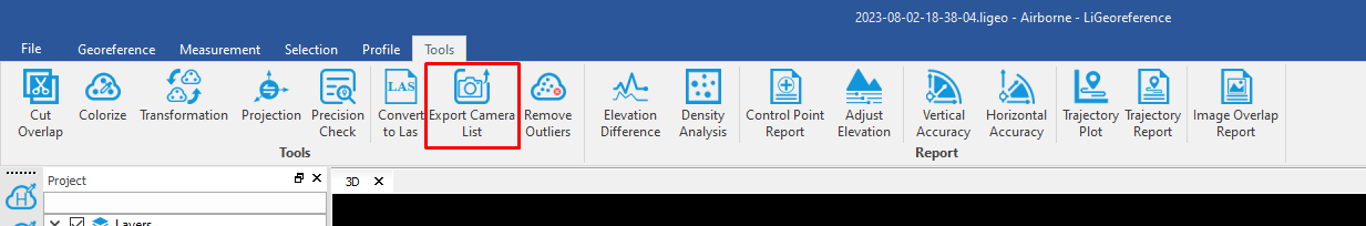
You can GeoTag images by using the "Export Camera List" function in LiGeo under tools:
Note that you can only do this with images from the GVI sensors.